Services
Air-to-Ground Scanning & Imaging Services
From aerial data capture to underground utility support, Pulse delivers organized field data across every project phase.
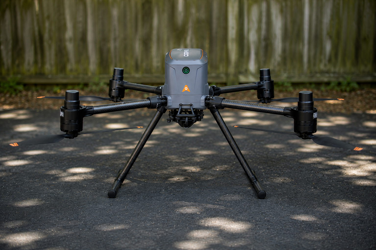
Aerial Capture
Pulse provides aerial scanning and imaging services for projects that require fast, efficient, and organized site documentation. Aerial capture can support planning, construction progress, inspections, asset documentation, thermal review, and coordination. Depending on the project scope, aerial deliverables may include imagery, video, thermal data, LiDAR data, point clouds, and project documentation.
- Drone imaging and site documentation
- Aerial LiDAR data capture
- Thermal imaging
- Progress documentation
- Roof, structure, and infrastructure inspections
- Visual data for planning and coordination
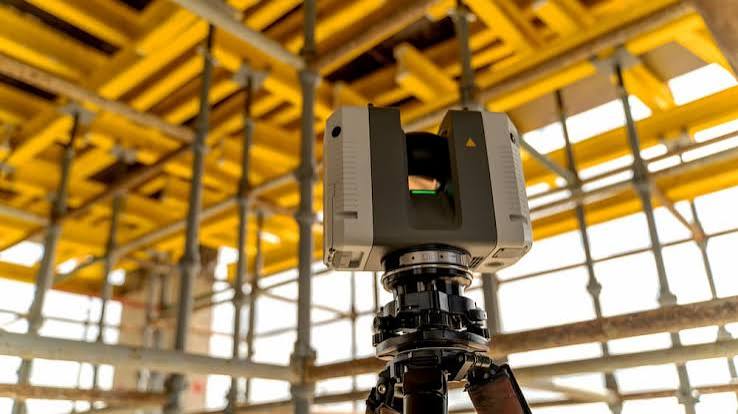
Terrestrial Scanning
Terrestrial scanning captures high-density data from the ground level, helping document buildings, sites, structures, facilities, and complex existing conditions. This service is ideal when aerial capture alone cannot provide the detail or perspective needed. Terrestrial scanning can support construction coordination, facility documentation, existing-condition records, and design-support workflows.
- Terrestrial laser scanning
- Interior and exterior site capture
- Existing-condition documentation
- Structural and architectural data capture
- High-density point-cloud data
- Field-to-office documentation workflows
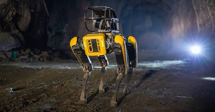
Robotic Scanning
Robotic scanning allows Pulse to capture complex environments more efficiently and safely. This is useful for industrial sites, interiors, repetitive capture routes, difficult-access areas, and locations where a mobile or robotic workflow provides better coverage than traditional methods.
- Robot-assisted LiDAR scanning
- Industrial and facility documentation
- Repetitive route capture
- Difficult-access areas
- Safety-focused data collection
- Large-site scanning workflows
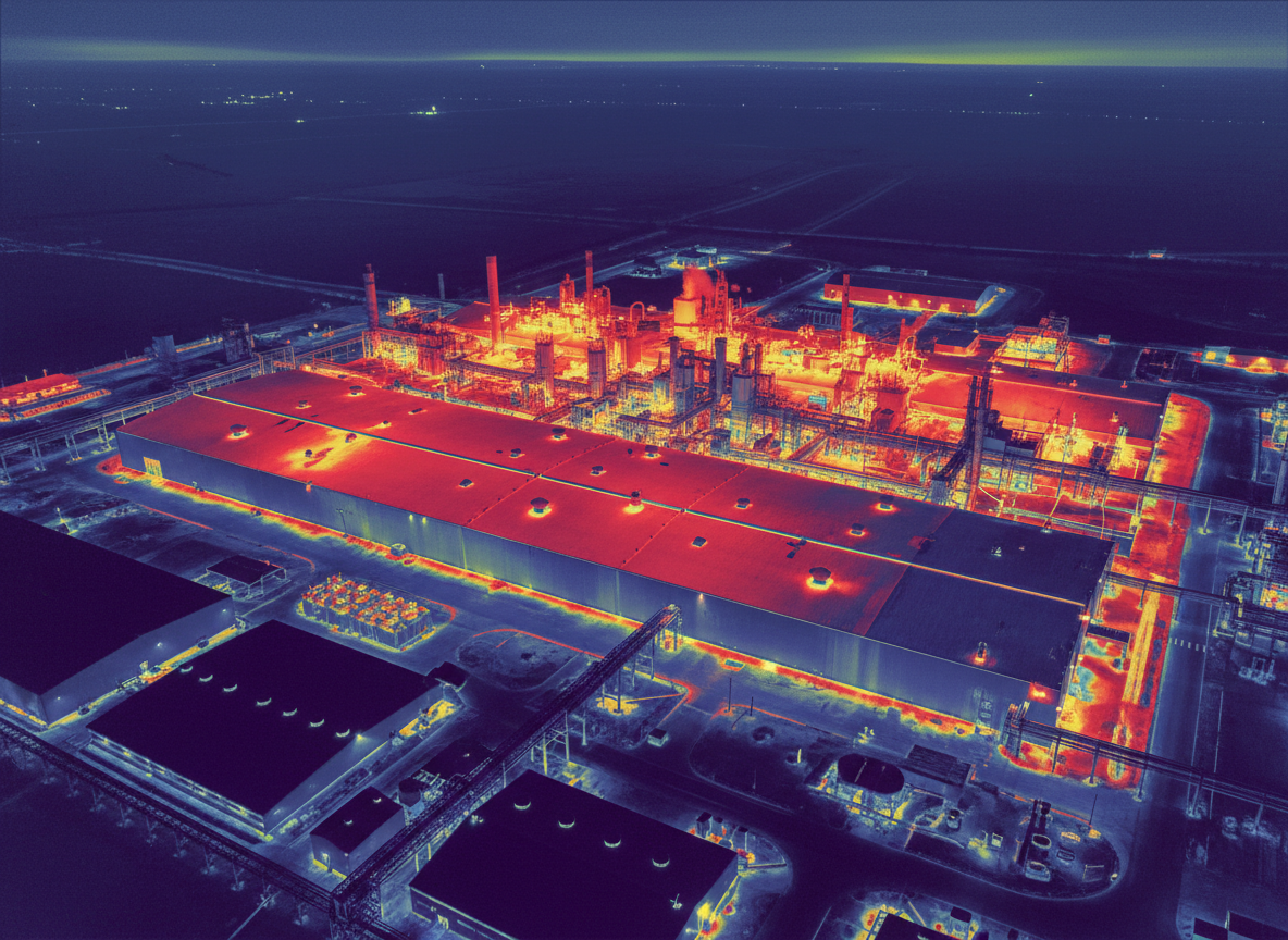
Thermal Imaging
Thermal imaging adds another layer of visual information for building evaluations, roof assessments, utility support, infrastructure review, and inspection workflows. Pulse can pair thermal data with aerial or ground-based imaging to give clients a clearer view of site conditions.
- Aerial thermal imaging
- Building and roof thermal review
- Utility and infrastructure support
- Heat signature documentation
- Inspection support
- Visual and thermal data pairing
CAD Drafting
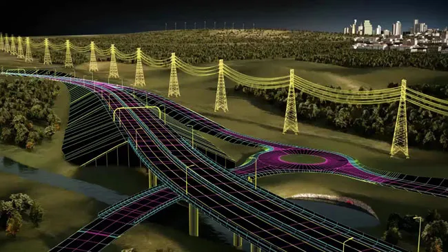
Pulse provides CAD drafting support to translate captured field data into organized, usable drawings. From point clouds and scan data to 2D plans, sections, and 3D models, CAD drafting helps turn raw reality capture data into deliverables that teams can actually work with in design, construction, and documentation workflows. Some items depending on jurisdiction, local laws, and guidelines will require a licensed professional to verify and certify deliverables before use.
- 2D drafting
- As-built plans and sections
- 3D modeling support
- Existing-condition drawings
- CAD-ready file preparation
- Design-support documentation
Data Processing & Deliverables
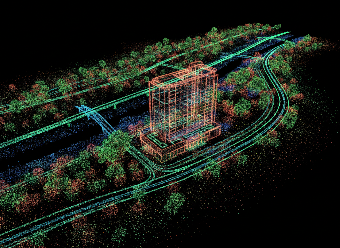
The value of reality capture depends on how usable the data is after collection. Pulse provides processing support for imagery, point clouds, scan data, and client-directed deliverables. Processing may include registration, cleanup, organization, export preparation, and CAD/BIM support depending on project requirements.
- Point-cloud processing
- Data registration and cleanup
- Imagery organization
- CAD-ready support files
- Existing-condition documentation
- Project visualization files
- Client-directed deliverable preparation
Utility Locating Support
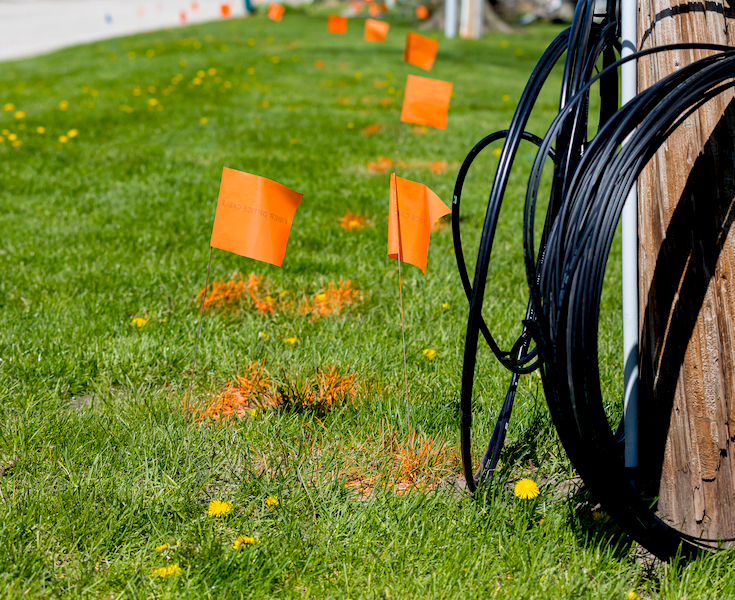
Pulse supports underground utility locating and documentation workflows for projects where below-ground awareness matters. Utility locating support can help reduce uncertainty before planning, design, excavation, or construction. Data can be documented and organized with other site capture information when appropriate.
- Underground utility locating support
- Utility documentation
- Field data collection
- Utility coordination support
- Site planning support
- Integration with scanning and imaging data
Utility locating support services are designed to assist in documenting and identifying potential underground conditions. Results are not guaranteed to identify all underground utilities or conditions.
Get Started
Need Better Site Data?
Start with Pulse.
Tell us what you need to capture, where the project is located, and how the data will be used. We will help define the right workflow, deliverables, and professional support for the project.
Not sure what you need? We can help scope the right capture method.