Air-to-Ground
Reality Capture
for Smarter
Project Decisions
Pulse Reality Capture provides aerial, terrestrial, robotic, and utility-focused scanning and imaging services for projects that demand accurate field data, clear documentation, and all inclusive usable deliverables.
Aerial capture · Terrestrial scanning · Utility locating support · Data processing · Field-aware workflows
More Than
Drone Data
Pulse Reality Capture is built for complete site documentation from air, ground, and below. We combine aerial imaging, LiDAR scanning, terrestrial capture, robotic scanning, thermal imaging, utility locating support, and data processing to help project teams understand existing conditions with speed and clarity.
Where a basic drone provider captures photos, Pulse is focused on delivering organized, usable field data that supports planning, design, construction, inspection, documentation, and coordination.
One site. Every angle. Field data that is easier to use.
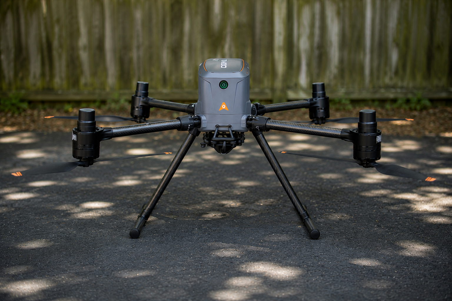
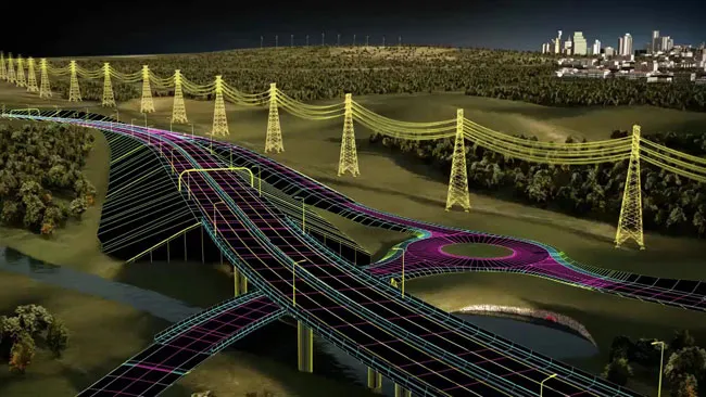
Aerial & Drone Capture
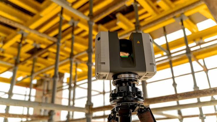
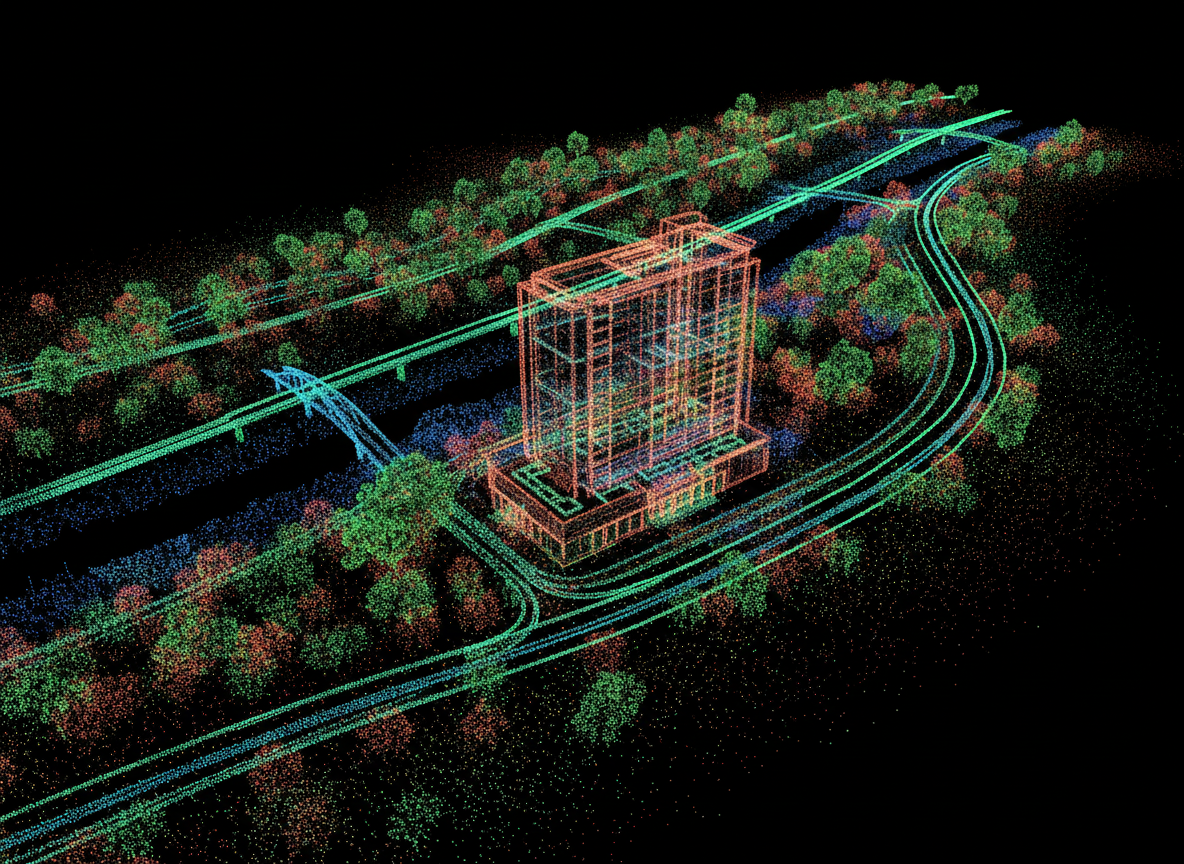
Terrestrial Scanning
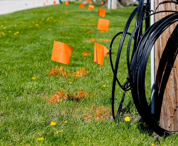
Utility Locating Support
Processing & Deliverables
What We Do
Air-to-Ground Scanning & Imaging Services
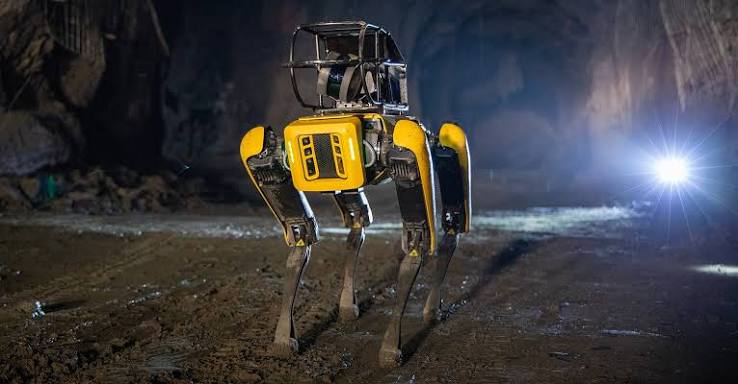
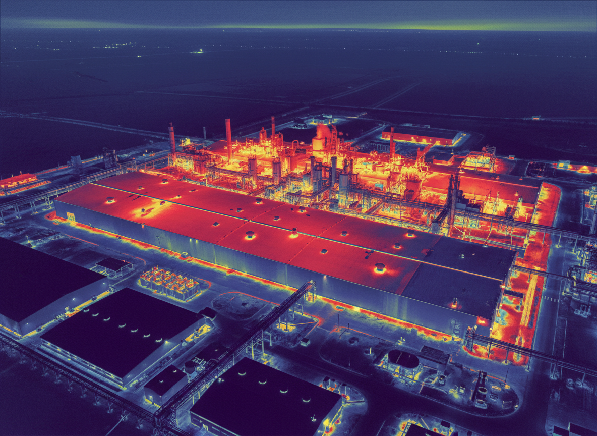
From aerial data capture to underground utility support, Pulse delivers organized field data for every project phase.
Our Difference
Why Pulse Reality Capture
Air, Ground, and Below
We capture data from multiple perspectives, not just from the air.
Field-to-Finish Thinking
We plan the capture with the final deliverable in mind.
Technology with Professional Oversight
Our workflows are built with field-aware standards and responsible project delivery.
Clear, Usable Data
We organize deliverables so teams can actually use them for planning, coordination, documentation, and decision-making.
How We Work
Our Process
Scope the Project
We define the site, objective, data needs, access requirements, deliverables, and whether licensed professional oversight is required.
Capture the Data
Our team collects aerial, terrestrial, robotic, thermal, utility, or combined data based on the project scope.
Process & Review
We organize, register, clean, and prepare the data for the intended use.
Deliver & Support
Clients receive clear deliverables with support for interpretation, coordination, and next steps.
Who We Serve
Built for Project Teams That Need Better Site Data
Engineers & Design Professionals
Support for field data collection, scanning, imaging, point clouds, and field-aware deliverables.
Contractors & Construction Teams
Progress documentation, existing conditions, coordination support, site imaging, and preconstruction capture.
Utilities & Infrastructure
Utility locating support, asset documentation, access-limited scanning, thermal inspection support, and field records.
Industrial & Facilities
Interior/exterior scanning, equipment areas, plant documentation, safety-focused robotic capture, and facility records.
Developers & Property Owners
Site documentation, visual records, aerial imaging, building capture, and planning support.
Municipal & Public Works
Infrastructure documentation, road and site imaging, asset records, and project support.
Professional Standards
Field-Aware Reality Capture
"We know when data is just data — and when it needs professional oversight."
Pulse Reality Capture understands that some data deliverables may cross into regulated engineering or professional design services depending on the project location and intended use. Our workflows are designed to support professional standards, clear scope boundaries, and responsible project delivery.
Full-service reality capture with licensed professional coordination available where required.
Data acquisition, scanning, imaging, and processing support available. Regulated deliverables require a licensed professional.
Get Started
Need Better Site Data?
Start with Pulse.
Tell us what you need to capture, where the project is located, and how the data will be used. We will help define the right workflow, deliverables, and professional support for the project.
Not sure what you need? We can help scope the right capture method.